Using the position filter to clean tracks through tunnels
GPSLog Labs' Position Filter now has a new "tunnel mode" that interpolates along a custom path instead of a straight line so resulting distances and speeds are more accurate.
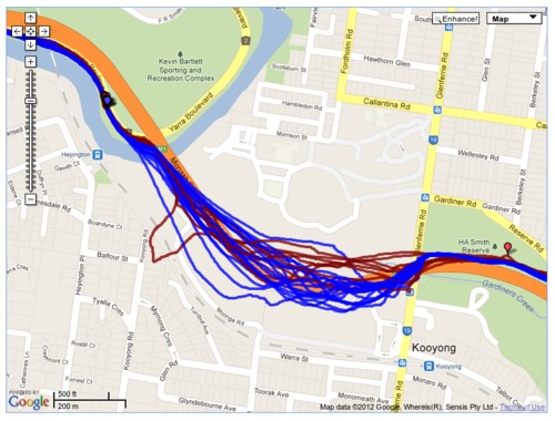
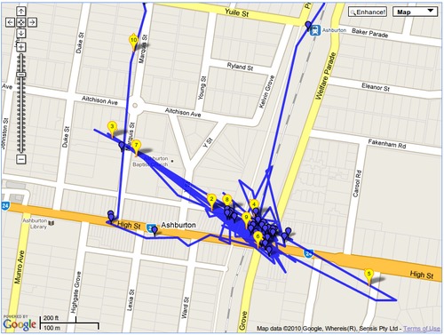
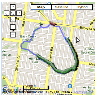
This is easiest to illustrate with an example: A route I regularly run goes under a raised freeway for about 500m. Throughout this section, the GPS signal is unreliable and the following map shows the kind of quality of track I can expect:
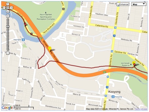
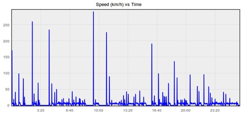
Picking one of these logs in particular shows that it's probably got the wrong distance and the speeds will be way off too, not very useful.
So, to fix this up, click on Filters in the right-hand side panel of the activity detail page:
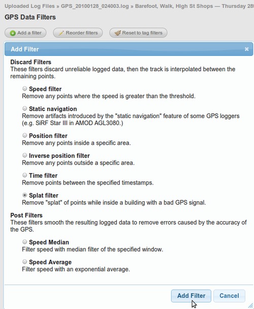
Then add a filter:
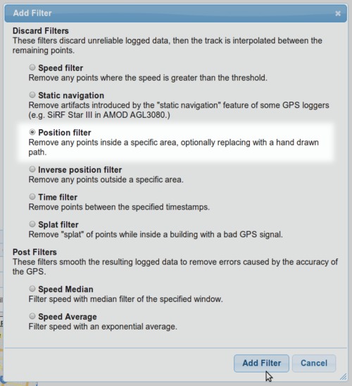
And choose the Position filter:
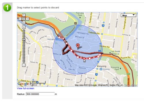
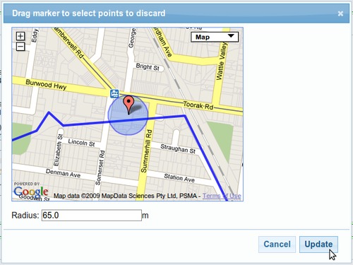
First you'll need to position the "discard" circle over the area of the track you wish to delete.
By default, the discarded point from your track will be replaced with a straight line through the circle. This is likely to result in an incorrect overall distance being calculated for your track (i.e. it'll be too short and the average speed will be to low too.)
To add a line of waypoints to interpolate the track through, click the Add Waypoints button then click on the map to draw the new path through the area.
Double-click to stop drawing the line, and drag the points to edit them, clicking a point will delete it.
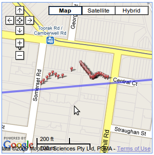
Once the filter is saved and the edit page reloaded, the discarded points will be shown as small markers.
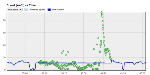
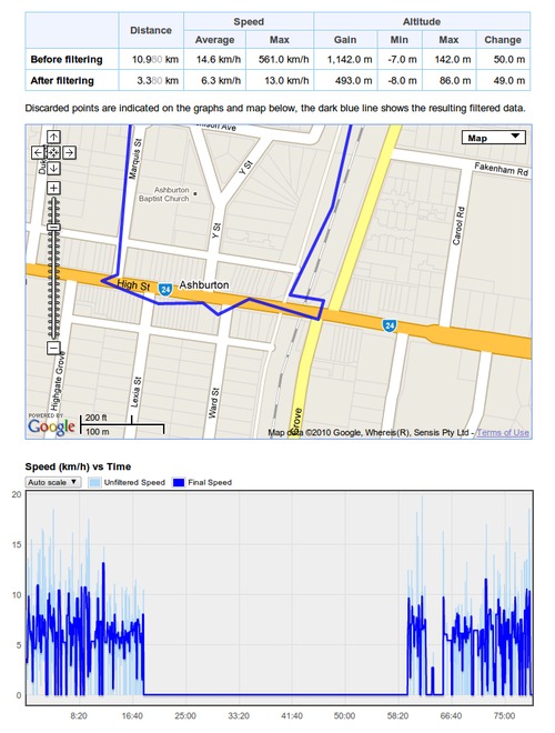
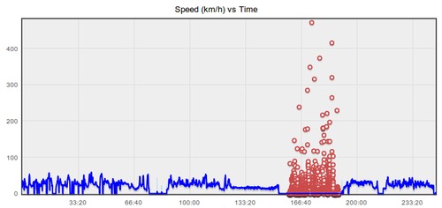
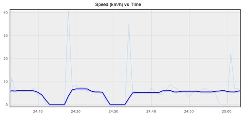
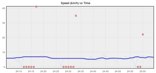
The following graph shows how the new track is interpolated through the waypoints at a constant speed, so stopped time will be counted in your average speed.
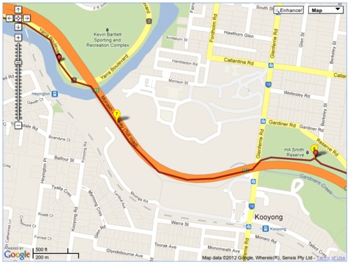
And back on the activity detail page, there's a nice cleaned up track that shows where I actually went, much better!
Like other filters, the Position filter can be saved to a tag so it will automatically be applied for any appropriate activity passing through that noisy signal area, meaning you'll never have to deal with messed up GPS data again.
