GPSLog Labs Blog

GPSLog Labs Blog

New features and tips for using gpsloglabs.com

Filed under

tips

Life logging

There's an interesting article in Wired: Know Thyself: Tracking Every Facet of Life, from Sleep to Mood to Pain, 24/7/365

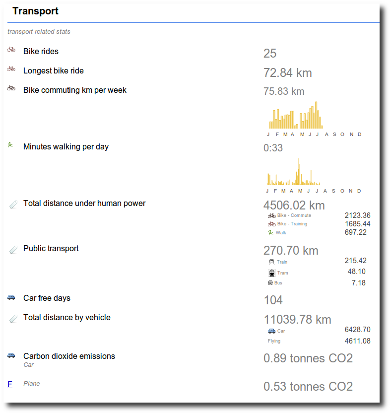
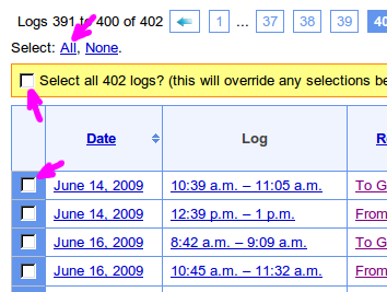
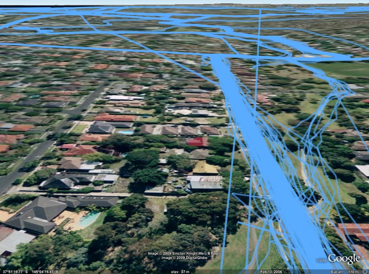
This gives a nice overview of life logging, something which I'm building GPSLog Labs to do. GPSLog Labs helps quantify a lot of your daily activity based on GPS tracks recorded with cheap and simple GPS data loggers. By simplifying the process of analysing these logs it's possible to not just get total mileage you've traveled, but also the amount of time you spend at different places and doing different activities.

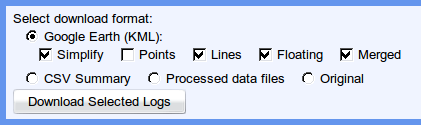
While it can't yet come close to something as comprehensive (and nice to look at) as the Feltron Annual Report, the GPSLog Labs reports are heading in that direction. The summary of your collected data can be exported in CSV format if you're keen enough to want to make something that looks really good!

Filed under  //  lifelogging   reports   stats   tips  

Tip: Merging logs into a single Google Earth (KML) file

Here's something I've been playing with for a while that is now trivially easy using GPSLog labs: Merging GPS log files into a single KML file for viewing in Google Earth.

You can select a group of logs from any place where there is a tab of logs (a tag, a route, a date etc.):

Screenshot-1

1. Click the "Select All" link on top of the table, then click the yellow "Select All" checkbox that slides out under that.

2. Choose Google Earth (KML), and select the following options (you must select Merged otherwise you will get a zip file containing the individual logs):

Screenshot-3

Simplify: This will reduce the number of points in the file by throwing away any points that are not necessary to define the shape of the tracks. i.e points along a straight line will be removed leaving only the end points.

Points: Output a small marker at each log point.

Lines: Output a line connecting log points.

Floating: If this is ticked, then the points will "float" above the ground according to their logged altitude reading. If it's not ticked, all logs will be "clamped" to the ground level.

3. When you click Download Selected Logs you'll get a Google Earth file like the screenshot.

It's really cool to zoom in on a road you travel along a lot and see all the tracks woven together. You can also get some interesting variations by playing with the various KML generation options:

Filed under  //  googleearth   kml   tips  
← Newer posts

© 2013 Tom Paton | GPSLogLabs.com | Source | Feedback | RSS | Subscribe