Segmenting your activity using route checkpoints
Checkpoints are a powerful GPSLog Labsfeature for analysing your activity, they can:
- Split activity into segments for comparison, without affecting
the other statistics such as overall mileage and duration.
This would not be the case if additional places were created as extra activity records would be created. - Compare your performance on a segment (such as a hill climb) for different routes.
- Checkpoints are assigned on a route by route basis so they only cut the activity of interest.
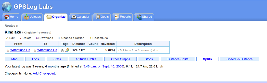
The easiest way to explain how checkpoints work is to run though a few examples: Once you've uploaded some activity to GPSLog Labs, you next need to assign a route to the activity. Once that's done, you can go to the Splits tab of the route detail page and click the Add Checkpoint link.
Then, create a new checkpoint by clicking on a point on the map or a stop on the log file.

Checkpoints work just like places. The activity inside the circle will be ignored, and the circle has to be big enough for all the logs to pass through it, otherwise they won't be recognised.

After saving checkpoints at the beginning and end of the climbs, the route map now looks like this:

On the route detail Splits tab, a summary of the splits is displayed.
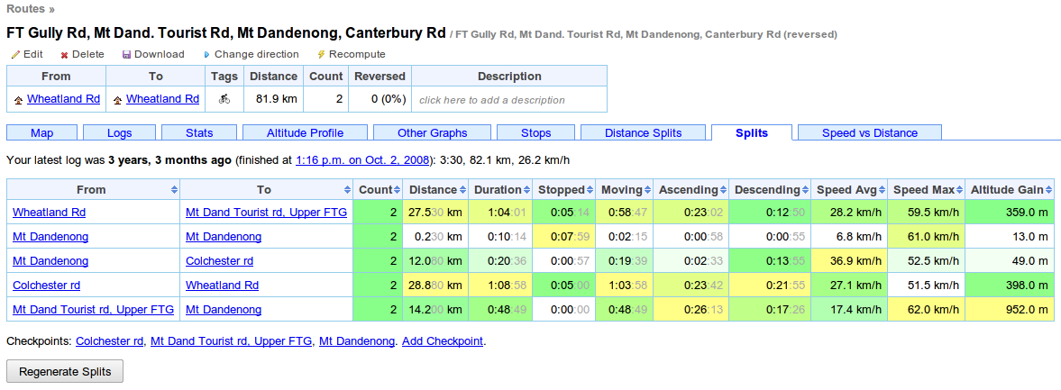
You may need to click the "Regenerate Splits" button, which will reprocess all the activity with the new checkpoints. This may take some time, so there's an equivalent button on the activity detail page's Splits tab that will reprocess only a single activity.
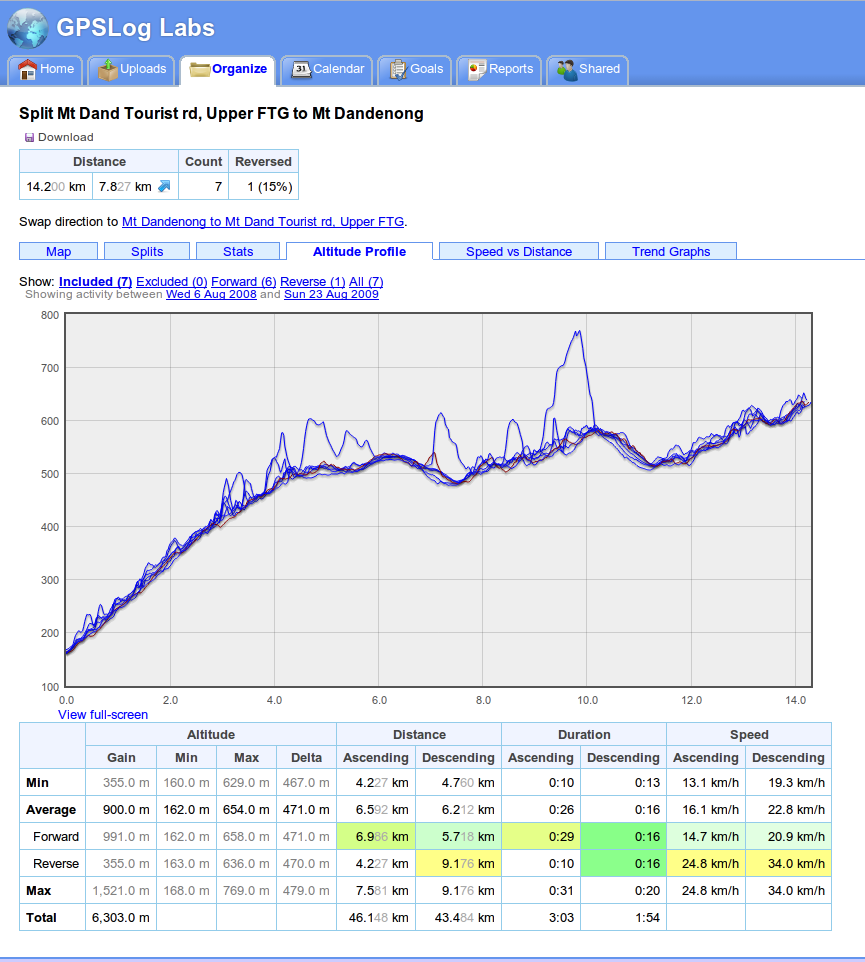
Clicking on the From or To checkpoint will bring up the split detail page. This page combines activity in both directions along the segment and lets you see maps, altitude profiles, trend graphs and other stats.


Checkpoints can be used to analyse short segments too, such as laps around an oval, or runs up and down a mountain (skiing or mountain biking, for example.)

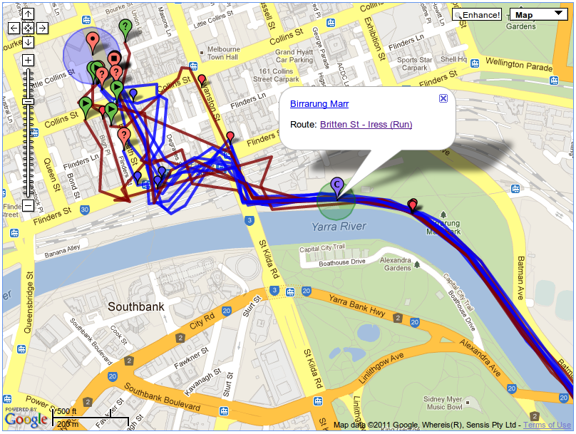
Another use is chopping off the ragged ends of a run, like in the following example where, when entering the city, the GPS signal becomes unreliable. By adding a checkpoint at the end of the path I can avoid the messy log file and also the disruption to my times caused by traffic lights and pedestrians.
This is a tricky area of the site to describe, but it's really useful, so have a play with it and if you have any questions, please let me know.
| ← Previous post | Next post → |