New Google maps
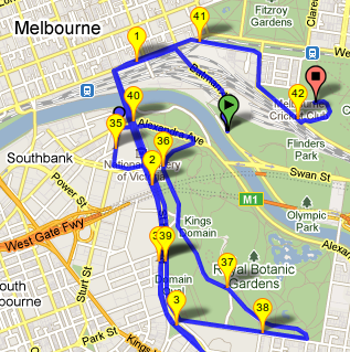
GPSLog Labs has finally be updated to use the latest Google Maps (v3 for those keeping score.)
Please keep an eye out for anything that may have been broken in the change over and let me know if you see anything.
I hope you enjoy some of the shiny new features, including:
- Maps are now much faster!
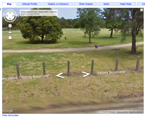
- You can use streetview to checkout your activities from ground-level.
- In some areas, the satellite photography has funky 45 degree images.
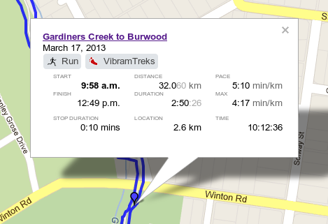
- The info popups have some nicer formatting
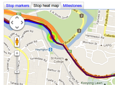
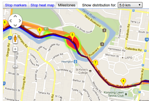
- Maps for routes have a couple of modes to show a heatmap of stops along the route: And also the location of the milestones:
- New icons are available in the tag and place icon libraries (courtesy of Mapbox)
- The map of all the users' places has been changed from using markers to a heatmap (and has some animation.)
- Paths on selection maps can be coloured according to route or with unique colours.
Bundled in with these changes you'll find a bunch of other improvements and new features that I'll cover in the next post.
